Narromine › Oest: Mildura Airport -> 270 deg
![]() Narromine, Austràlia
Narromine, Austràlia
Real-Time Environment
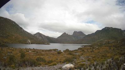
Welcome to the live streaming webcam for Narromine › Oest: Mildura Airport -> 270 deg, perfectly situated in the vibrant region of Narromine, Austràlia. Watching this live camera allows you to instantly experience the local atmosphere and monitor current climate conditions.

About Narromine
Narromine (/næroʊmaɪn/) is a rural Australian town located approximately 40 kilometres (25 mi) west of Dubbo in the Orana region of New South Wales. The town is at the centre of Narromine Shire. The 2021 census recorded a population of 3,507. Narromine holds strong historical ties to the Australian Military, as it was the location of RAAF No.19 Inland Aircraft Fuel Depot (IAFD) during World War II. The base contributed to the preparation of troops through a training organisation known as the Empire Air Training Scheme (EATS). The town was one of twelve locations for the No.5 Elementary Flying Training School RAAF in 1940.
📖 Read more on Wikipedia📍 Location Facts
-
Country
 Austràlia
- Region New South Wales
- City Narromine
- Coordinates -34.2307°N, 142.0825°E
Have you been to Narromine?
Help the community! Share your experience, tell us about the weather, or upload your own photos from this exact location.